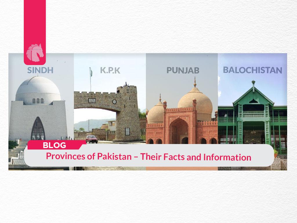
Original Source: Provinces of Pakistan
Pakistan is a country located in South Asia and owned by an Indo-Iranian-speaking community. It is bordered by Iran in the west, Afghanistan in the north, China in the northeast, and India in the south-east. In addition, the Arabian Sea is in the south of Pakistan. According to Wikipedia, it’s the fifth-most dense country globally, with 225,275,134 total population of Pakistan. With a total area of 881,913 km2 (340,509 sq mi), it’s the 33rd-largest country in the world by area. Pakistan is wealthy for having stunning lakes, majestic mountain ranges, lush green gardens, and breathtaking deserts. Talking about its culture, tradition, and religion, it is the second-largest Muslim population country in the world. Economically, Pakistan has been growing continuously for the past few decades. Geographically, the Indus River plain is in the center of Pakistan. There are thousands of informative and shocking facts about Pakistan that are unknown to people. In this blog, we are going to tell you interesting facts and figures about Pakistan provinces.
Some people said there are four provinces of Pakistan, and some said there are five. However, recently in November 2020, the Prime Minister of Pakistan, Imran Khan announced Gilgit-Baltistan as the 5th province of Pakistan. Below we have listed down the five provinces in Pakistan.
List of 5 provinces of Pakistan
- Punjab
- Sindh
- Khyber Pakhtunkhwa
- Balochistan
- Gilgit-Baltistan
These provinces refer to the subnational administrative divisions of the country that play a massive role in the governance of Pakistan.
1. Punjab
Punjab is in the east of Pakistan, known as the eastern province of Pakistan. Punjab, with a total area of 205,344 sq. km, 08 divisions, and 34 districts, is bordered by Sindh province to the south, the Indian state of Jammu and Kashmir to the northeast, Indian states of Punjab and Rajasthan to the east, Balochistān and Khyber Pakhtunkhwa to the west, and Islamabad – the Capital of Pakistan and Azad Kashmir to the north. The famous city of Lahore is the capital of Punjab. The word Punjab is derived from the Punjabi language, which means the ‘five water’ or ‘five rivers’. These five streams signify the land drained by the Jhelum, Chenab, Ravi, Beas, and Sutlej. With a population of 110 million, Punjab is the largest province of Pakistan by population. Punjab is predominantly on the plain, However, there are also some mountainous ranges in the North-West and South-West. There is also a plateau facing the mountains known as the Potohar plateau. The majestic ‘Cholistan desert’ is also in the South-Eastern part of the city. Lahore, Faisalabad, Rawalpindi, Multan, and Gujranwala, all these major cities of Pakistan are situated in the Punjab region. It consists of four main languages: Punjabi, Saraiki, Hindko, and Urdu. Let’s have a look at the key factors of Punjab:
Facts about Punjab:
- It’s a land of five rivers.
- Punjab is greater than Kyrgyzstan in the area
- It has the highest literacy rate in Pakistan, at 59.3%
- Seven different languages are spoken (Punjabi, Majhi, Saraiki, Hindko Urdu, English, Sindhi)
- The oldest mosques and gardens from 1524-1739 are located in the Punjab region
- The world’s second-largest salt mine, Khewra Salt Mine, is located in Islamabad, which is in the Punjab region.
- It’s one state divided into two countries, Pakistan and India.
2. Sindh
Sindh is located in the south-eastern part of Pakistan. It shares land borders with Balochistan and Punjab to the north, the Arabian Sea to the south, and the Indian states of Gujarat and Rajasthan to the east. The Thar desert is also situated in the eastern portion of Sindh. It’s basically a part of the Indus River and has obtained its name from the River Sindhu. With a total area of 54,407 square miles (140,914 square km), Sindh was established on 1 July 1970.
Karachi, situated on the southwestern coast, is the capital of the Sindh province of Pakistan. It’s the heart of the ancient Indus valley civilization, as described by the sites of Mohenjo-Daro. Topographically, Sindh consists of three parallel belts including the Kīrthar Range in the west, the central alluvial plain hemisected by the Indus River, and the desert belt in the east. With a total of 07 divisions, 30 districts, and a population of 47.9 million, Sindh is the second-largest province of Pakistan by population. Seven different languages are spoken in Sindh: Sindhi, Lasi, Urdu, Kutchi, Thari, Balochi, and Saraiki.
Facts about Sindh:
- Sindh is known as the Gateway to Islam in the Indo-Pakistan subcontinent.
- Natural resources like Coal, Natural gas, Crude Oil/Petrol are found in Sindh.
- Agriculture is the backbone of Sindh’s economy
- The overall literacy rate of Sindh is 60%.
- 35% of the rural community of Sindh is literate
- About 60% of the population is illiterate.
3. Khyber Pakhtunkhwa
Khyber Pakhtunkhwa is also known as KP. It is the northernmost – formerly North-West frontier province of Pakistan. In the west and north, it is bound with Afghanistan, east and northeast with Azad Kashmir and Gilgit-Baltistan, south-east with Punjab, and southwest with Balochistan. The Federally Administered Tribal Areas (FATA) – a set of ethnically homogeneous areas is on the western boundary of KP, with the Afghan border. The oldest and historical city of Pakistan ‘Peshawar’ is the capital of KP. With a 2017 recorded population of 35,525,047, Khyber Pakhtunkhwa is the fourth largest province of Pakistan by population. Consisting of 7 divisions, 35 districts, and a total area of 101,741 km2 (39,282 sq mi), KP is the third largest province by area. The region consists of majestic mountain ranges, waving submontane areas, and plains encircled by breathtaking hills. Because of its geographical closeness to the Khyber Pass, the region is characterized by numerous invasions and many empires. You can also read our blog on historical places in Peshawar.
Facts about Khyber Pakhtunkhwa:
- It is the third-largest province of Pakistan by population and economy.
- Geographically, it is the smallest province of Pakistan
- It is the historical site of the old kingdom Gandhara
- In 2014, about 929,859 people were displaced from North Waziristan to Khyber Pakhtunkhwa as an effect of Operation Zarb-e-Azb.
- It is divided into three parts, settled areas, FATA (Federally Administered Tribal Areas), and PATA (Provincially Administered Tribal Areas).
- Its literacy rate is 50%.
- Multiple languages are spoken (Khowar, Hindko, Kohistani, Shina, Torwali, Kashmiri, Kalasha, Farsi, and Kaghani).
4. Balochistan
Balochistan is located in the southwestern region of Pakistan. In terms of land or area, it is the largest province of Pakistan. Balochistan was meant to be “the land of the ‘Balochs.’
It is bordered by Iran in the west, Afghanistan in the northwest, Khyber Pakhtunkhwa in the northeast, Punjab in the east, and Sindh in the south-east. With a current population of 12.34 million, 07 divisions, and 33 districts, Balochistan is the city of the Baloch community. It was established in 1970 as a province of Pakistan. Quetta is the capital city of Balochistan. It is dominated by natural resources, like natural gas fields. It consists of four physical regions, including upper highlands, lower highlands, plains, and deserts. Besides Quetta, the second largest city of Balochistan is Turbat in the south. Balochistan is famous among people for its different culture and desert climate.
Facts about Balochistan:
- It is situated between the three countries Pakistan, Iran, and Afghanistan.
- It consists of 40% area from all over Pakistan.
- The highest temperature, 53 °C (127 °F), was reported in Sibi – the city of Balochistan on 26 May 2010.
- There are only 27% of literate women, which is the lowest in the world.
- A lot of small-scale firms are confined to cotton and woolen production (carpet making, textile, and leather embroidery).
5. Gilgit-Baltistan
Gilgit-Baltistan was established in 1948, consisting of a total area of 72,971 km2 (28,174 sq mi). It is formerly known as the northern areas of Pakistan. It also forms the northern division of the larger Kashmir. It is bordered by Khyber Pakhtunkhwa to the west, Afghanistan to the north, Azad Kashmir to the south, China to the east and northeast, and Indian territories Jammu and Kashmir and Ladakh to the south-east. Gilgit-Baltistan consists of a total land area of 72,520 square kilometers, with a population of 1.8 million in 2015. It is a highly mountainous fifth province of Pakistan. In the previous year of 2020, it was declared a province of Pakistan by the current Prime Minister Iman Khan. Gilgit-Baltistan is a major place for tourism in Pakistan. Every year, numerous domestic and international tourists visit this region. It’s home to the five of the “eight-thousanders” as it consists of fifty high peaks. It has 03 divisions and 14 districts. Balti, Shina, Wakhi, Burushaski, Khowar, Domaki, Urdu are the languages that are spoken in this region.
Facts about Gilgit-Baltistan
- Gilgit-Baltistan is situated between the Karakoram and Himalayas, which are the world’s highest mountains.
- The Baltoro, Batura, and Hispar the largest glaciers are found in Gilgit-Baltistan.
- More than six languages are spoken.
- Various majestic hill stations in Pakistan are in Gilgit-Baltistan.
- Baltistan was once part of Greater Tibet and was known as ‘little Tibet.’
- It had a Cannibal King (Sheri Badad) who was fond of eating the flesh of newly born human babies.
- Islam came to Baltistan in the 15th century and in the Gilgit region, Islam entered in the 16th century.
- Polo is the national sport of Gilgit-Baltistan
So these were the 5 provinces of Pakistan and their interesting facts. You can also read our blog about housing societies in Islamabad.
Read more related blogs: